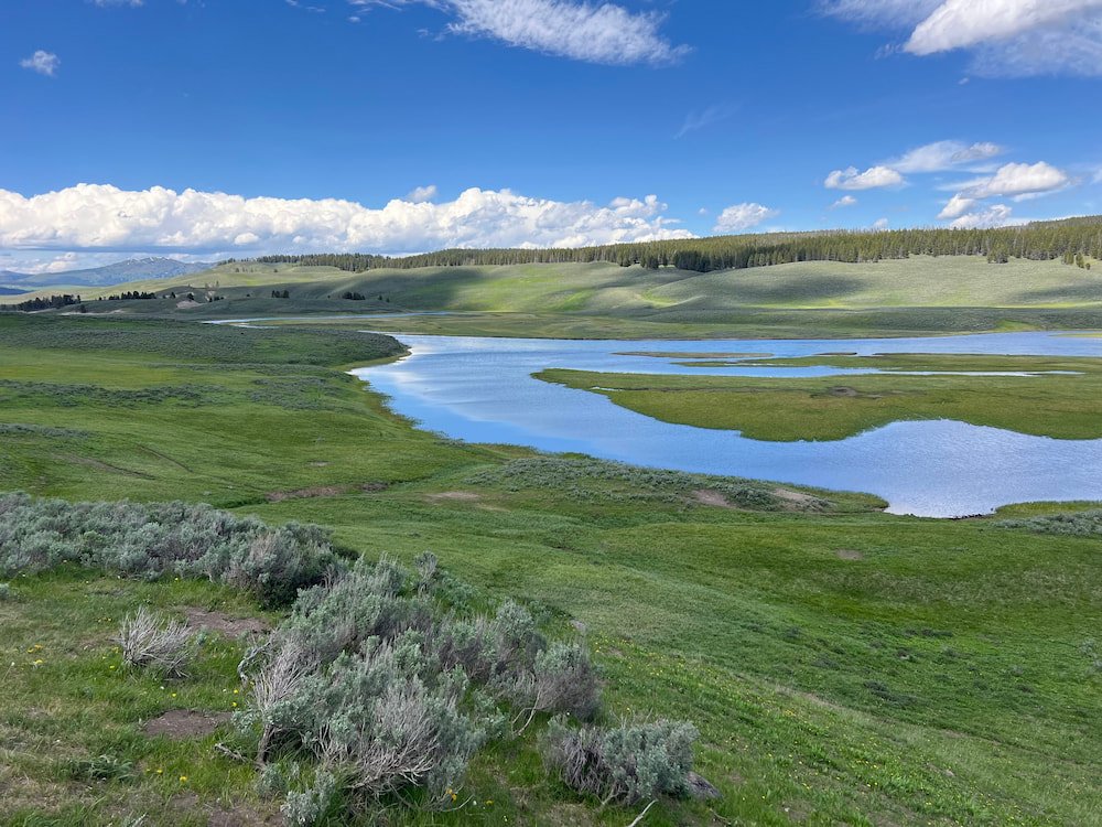
The best time to see animals at Yellowstone National Park is early in the morning, so we were on the road by 6.45am, ready for another exciting day. We'd heard some of the best places to see animals like bison, elk and antelope was Lamar Valley, so we headed there as the fog was still clearing for the day.
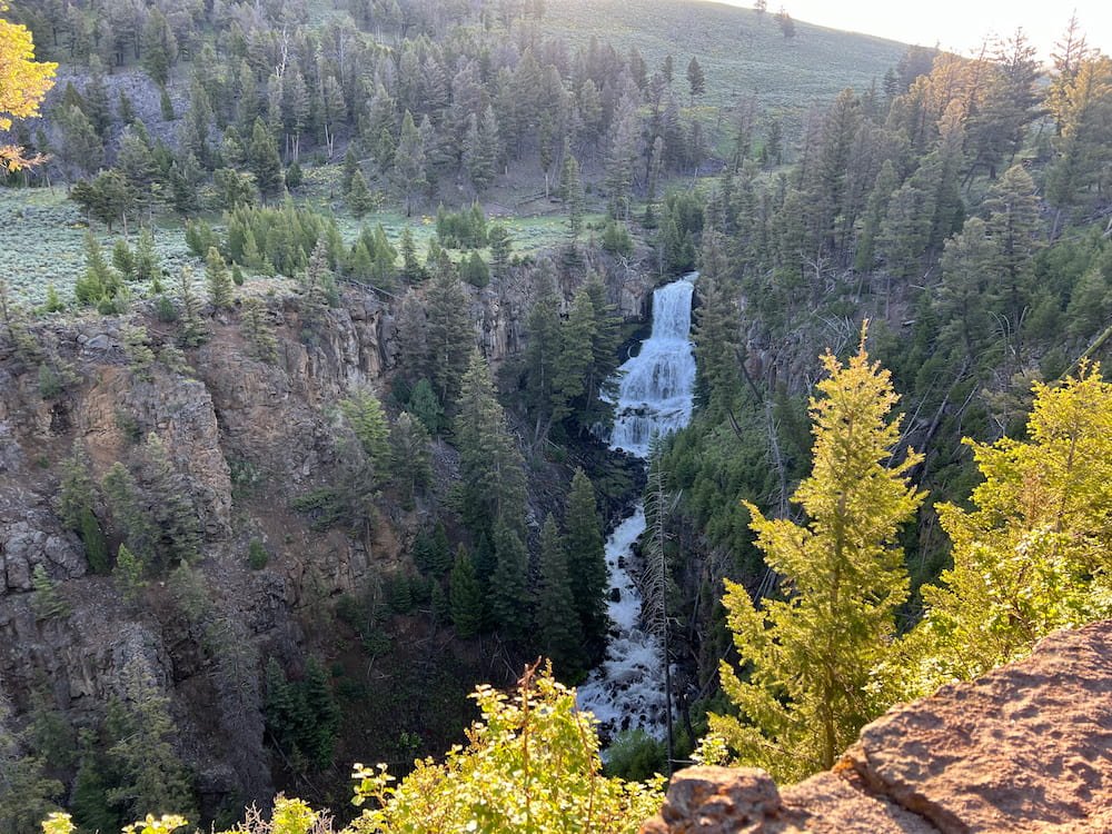
Along the way, we had a brief stop at Undine Falls, an 18 meter (60 foot) waterfall along Lava Creek, not far from Mammoth Hot Springs, where we went yesterday.
Lamar Valley: Herds of Bison, Elk and More
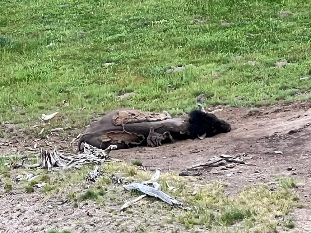
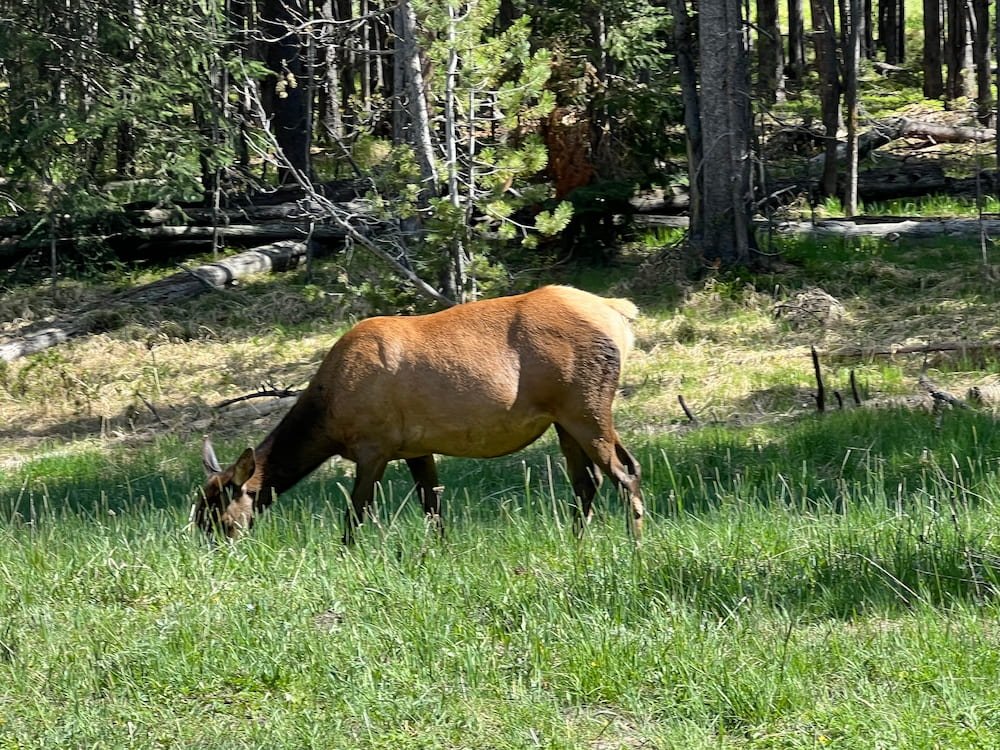
Our early morning start paid off! We saw herds of bison and elk, all grazing and hanging out on the plains. Clearly many people visit Yellowstone to see the animals: there were folks getting out of their cars with binoculars or cameras with zoom lens that could be just as (if not more) expensive than the cameras themselves. There were even people who had pulled off to the shoulder of the road, and had set up lawn chairs, clearly planning to stay for a while to look at the animals! We unfortunately didn't have either binoculars or cameras that could zoom in 100-fold, but it seemed like in the far distance people could also spot grizzly bears and wolves, which were less likely to get as close for the naked eye to easily see.
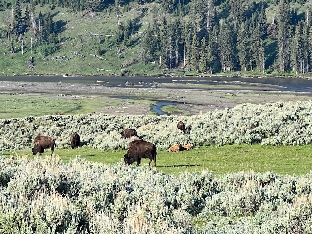

We drove along Lamar Valley for another 20 kilometers (12 miles) or so, before deciding to turn back around and check out a few other places further south. It turned out that we saw more animals up close this way! An antelope dashed across the road directly in front of us as we drove along. Then, Lisette let out an excited squeal (scaring Sheila in the process), as we saw a bison grazing right next to the road! Lisette could see its eye, its shaggy wool and its features so clearly, she'd probably have been able to pick it out from a lineup if bison police existed.
Husky on the Road
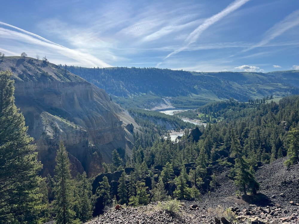
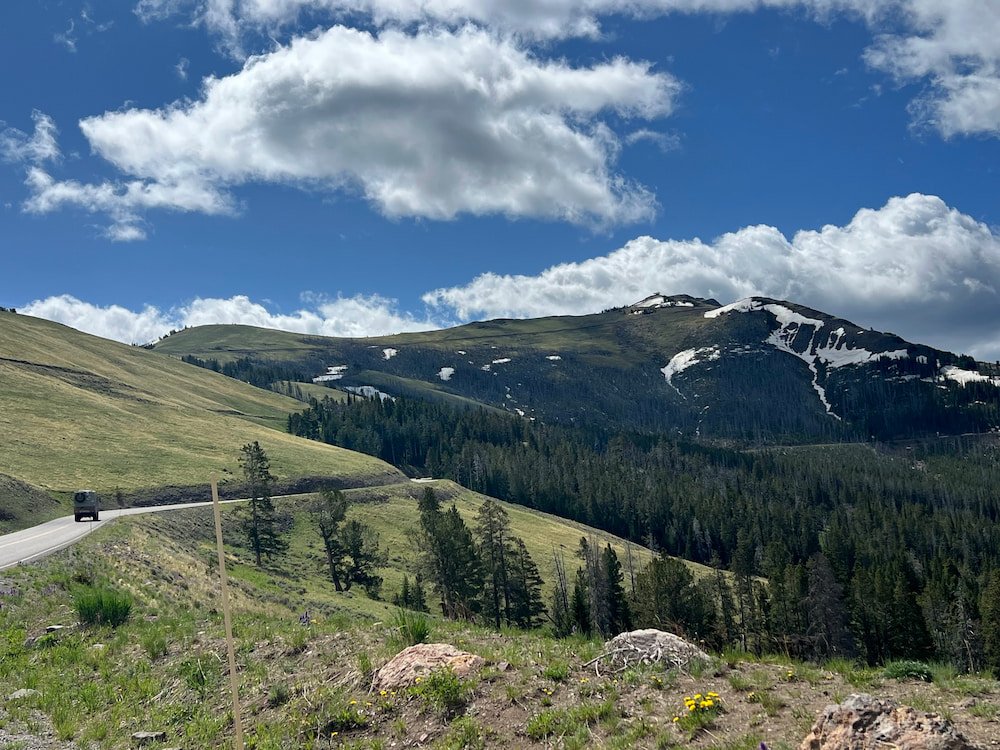
As we continued south on Grand Loop Road, there were several overlooks where we couldn't help but stop to take in the scenery around and below us. Calcite Springs Overlook looks down on a slender part of the river, fittingly called "The Narrows," and is the lowest elevation of any hot area in the park. Yellowstone is in a supervolcano, and we also stopped at the heart of the Yellowstone caldera that measures 48 x 72 kilometers (30 x 45 miles), the remnant of the collapsed magma chamber. The caldera was formed from the third cycle of volcanic events in Yellowstone, which created a 305 meter (1,000 foot) depression. It's incredible to think of all the volcanic and geothermal activity that has formed Yellowstone, and continues to shape it today!

As we were driving and stopping along the road, we'd noticed an expedition vehicle driving also on the route. These vehicles stand out because they're built like tanks, and are not too common, with all of the people driving them shipping these vehicles from Europe, where they're built. Michael has been enamored with these vehicles for years now, and the goal one day is that we'll travel the world in one, with our current RV road trip being the first foray into roadster life.
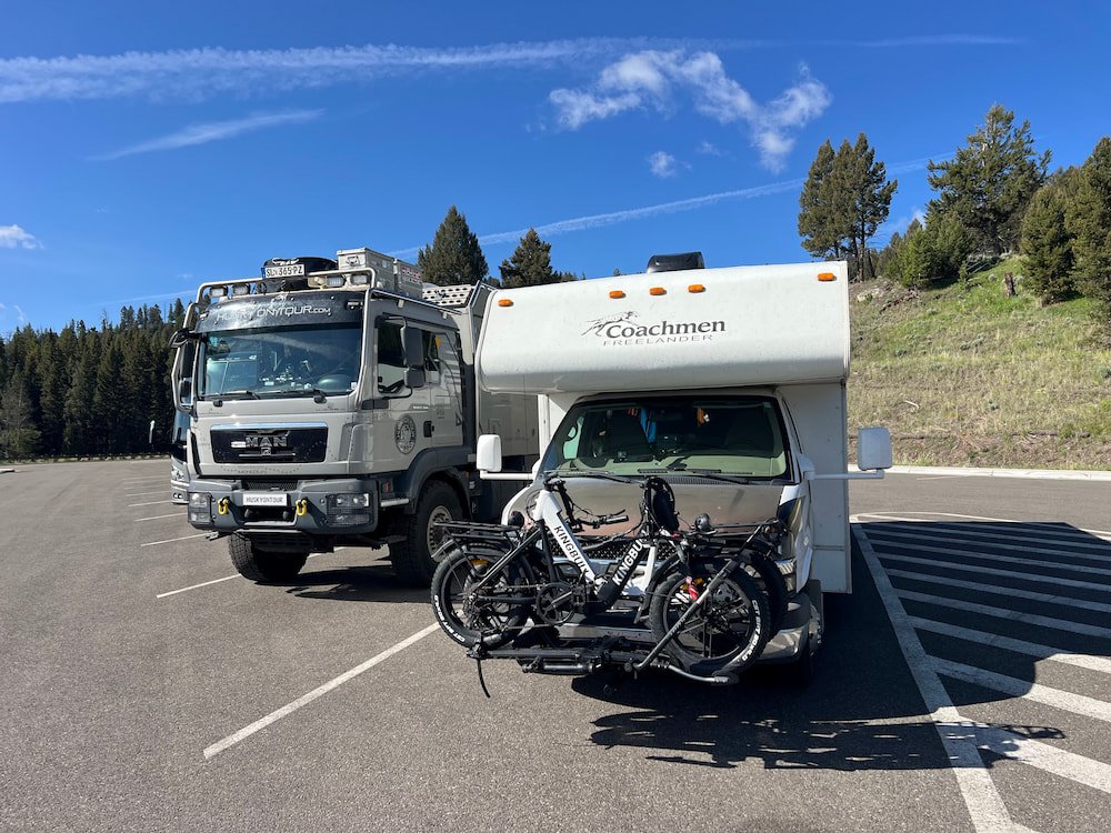

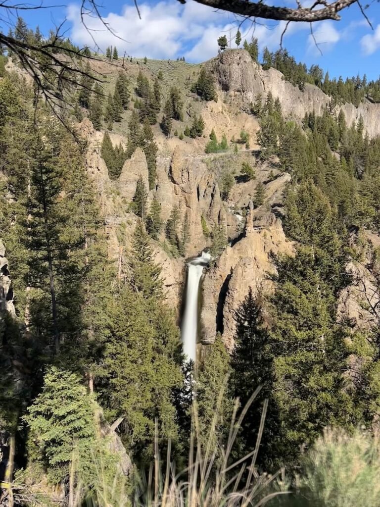
We arrived Tower Fall, a beautiful waterfall plunges over 40 meters (132 feet). Unlike the earlier stops, this one has a large parking lot and is more of a rest stop, with a short hike from the parking lot to see the falls and the ancient rock columns that were created by lava flow. There's also a general store which we didn't go into, but advertised that it sold "bison brats" (we assume German-style bison sausage, rather than ill-mannered bison), among other meals and souvenirs. We parked next to the expedition vehicle that we'd seen a few times already on this road, which we could see was originally from Austria, and had a website and various social media channels (Facebook, Instagram), called Husky On Tour, to follow its travels.
As we were walking to check out Tower Fall, we saw the man driving the expedition vehicle, and Michael asked him directly if we could check out his transport! The man was happy to oblige after he went to the general store. We learned that Harry had already traveled for a few years to countries including Georgia, Armenia, Turkey, Iran, Iraq, Saudi Arabia, and others, and he was currently traveling through the US and Canada. The "husky" on tour was his travel companion, Akita, who had sadly and suddenly passed away recently. This hit home for us, as Sheila has been with us on so many adventures, and she's family.

After chatting with Harry for a while, we exchanged details in case there was an opportunity to meet up again, or if we could answer any questions for each other while on the road. It's been great to connect with like-minded travelers, and learn a lot about them, their journeys, and share tips along the way!

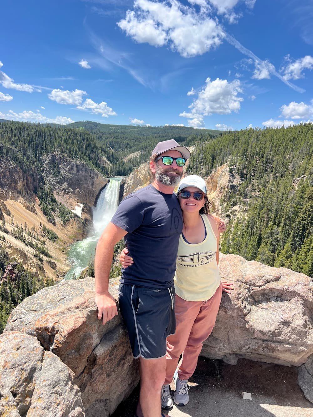
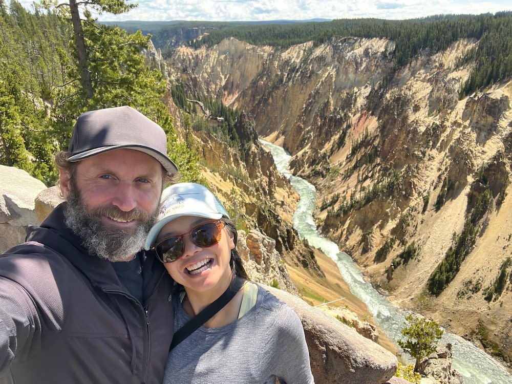
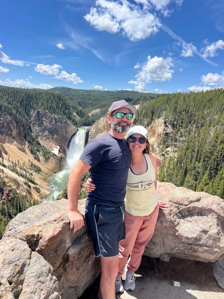
Upper and Lower Yellowstone Falls
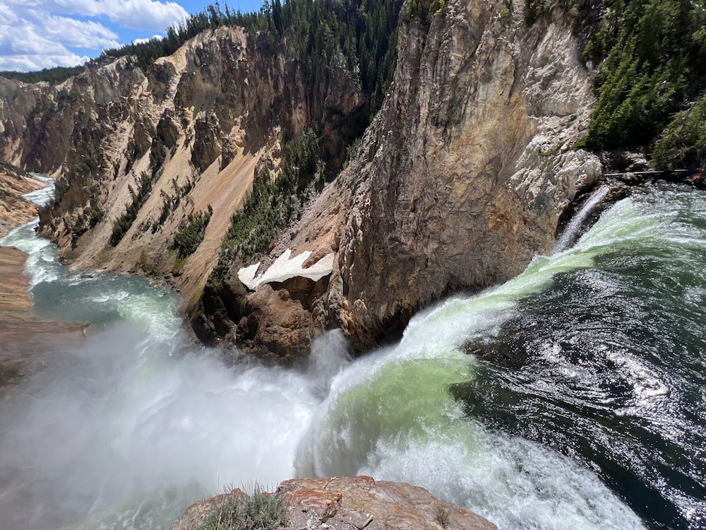
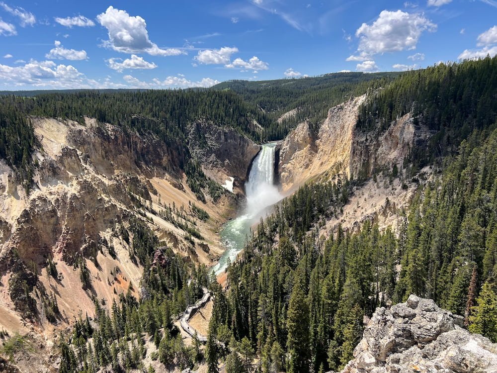
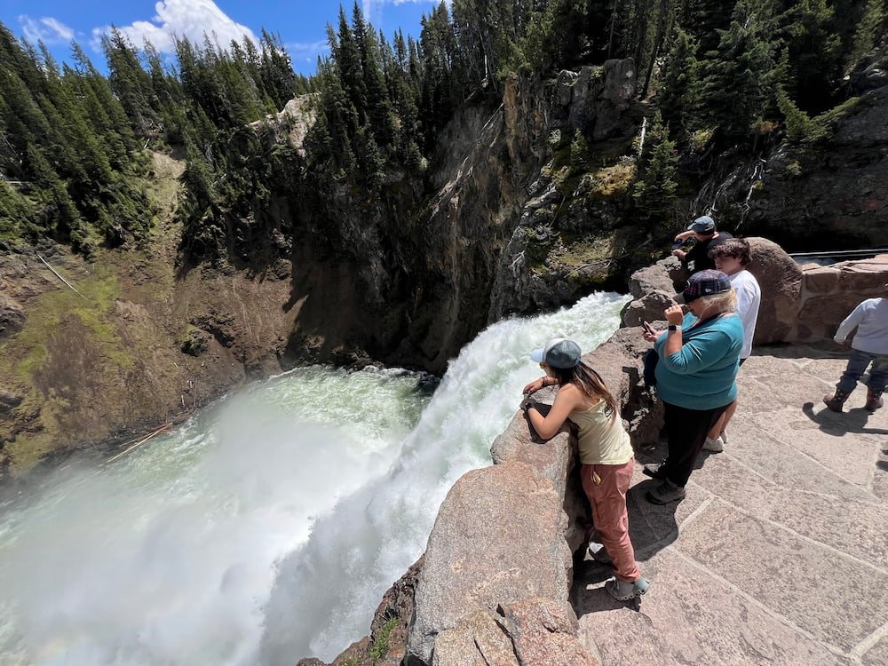
Did you know that Yellowstone has its own Grand Canyon, at the Yellowstone River? The Yellowstone River has three falls: the Upper Yellowstone Falls, the Lower Yellowstone Falls, and the Crystal Falls. We went first to the Lower Yellowstone Falls, the tallest waterfall at Yellowstone National Park, at 94 meters (308 feet). We could hear the roar of the waterfall before we saw it, as it flows thousands of gallons per second, but as we neared and the trees cleared, we could see not only the falls, but the rugged cliffs surrounding it. How spectacular! We could get so close that we could feel the water splash on us, and see the water rushing past, with a part of the water spilling over at the top of the waterfall, showing the shiny rocks underneath. The sheer volume and velocity of the water crashing onto the rocks below made for a dramatic scene, with the water splashing back up so violently that we couldn't see the river immediately below it. As we looked further along, we could see the water flow down the river, continuing on its journey.


We also checked out the Upper Yellowstone Falls, a waterfall in the Grand Canyon of the Yellowstone River that's 33 meters (108 feet) tall. The canyon is forever growing longer, wider, and deeper, as it cuts through an ancient hydrothermal basin. Hot areas and steam vents still exist today, allowing heat, gases, and water to escape from the underground Yellowstone Volcano. The waterfalls were incredible to see and just gaze at the force and beauty of it all--Lisette was looking down and observing the whole scene, and there was a lady who came along and exclaimed "Mama Mia!" because she was just so in awe of it all!
Continuing on Grand Loop Road
We realized that if we stopped somewhere for long enough, we'd see wildlife, so we stopped near Hayden Valley, another area known for its abundance of wildlife, where we did indeed see more bison.

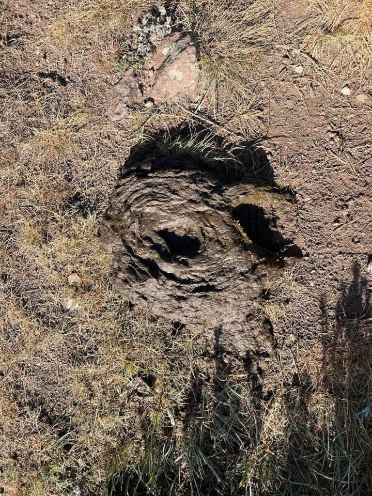
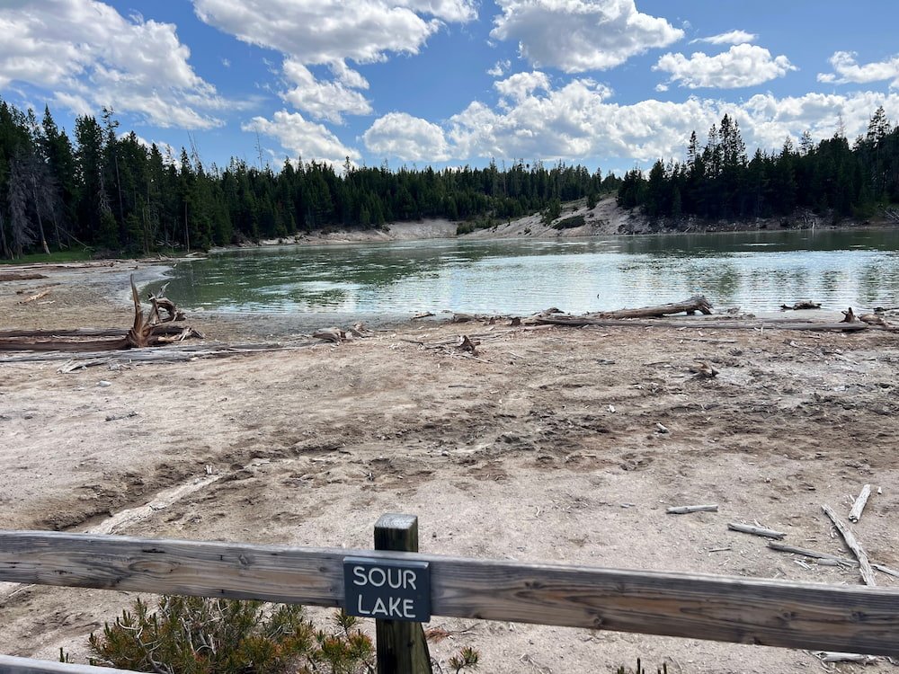
Further along, we stopped at Dragon's Mouth Spring, a mud volcano area. Mud pots are full of hydrogen sulfide from deep below the ground, which then lets off sulfuric acid and creates the strong, distinctive rotten eggs smell that we could smell at the park. There were more fun names in this thermal area (like Churning Caldron and Sour Lake), and it's somewhat mesmerizing to just stare and see all the frothing and fuming of the heat and gas rise from these muddy pools!


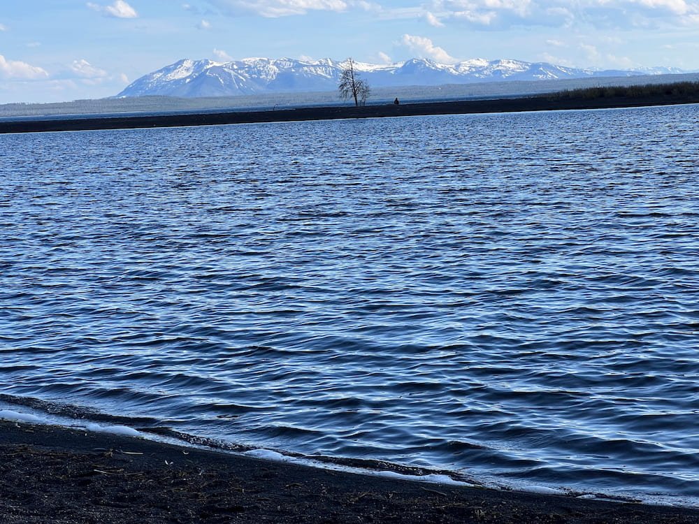
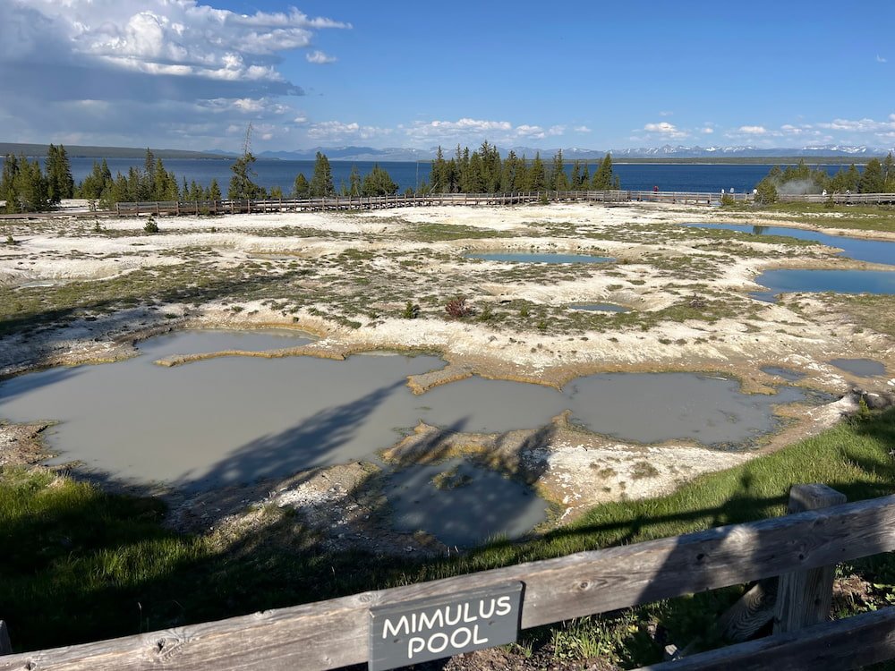
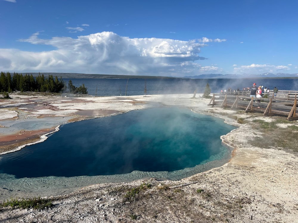
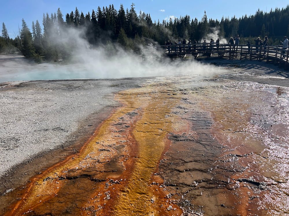
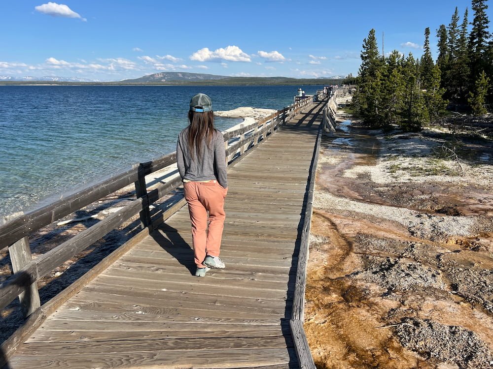
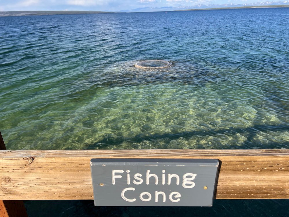
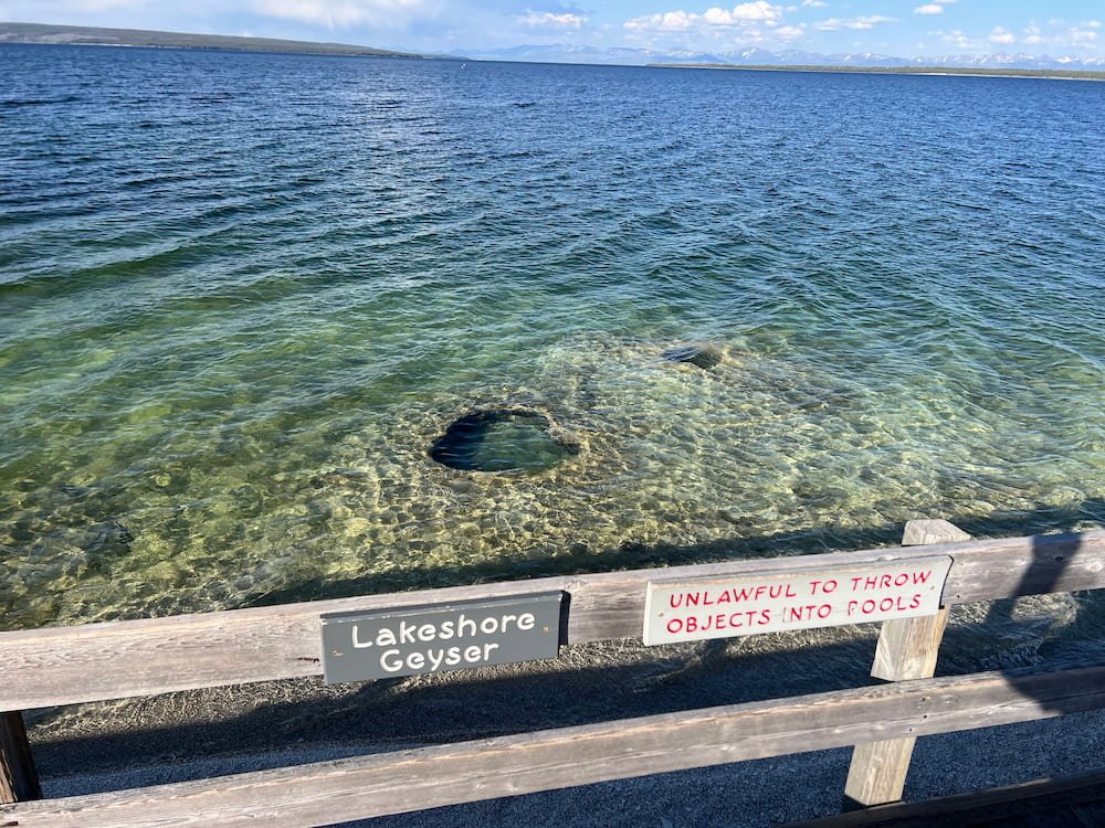
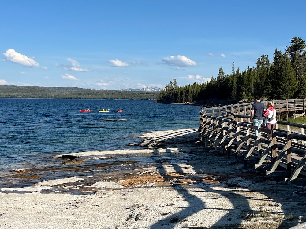
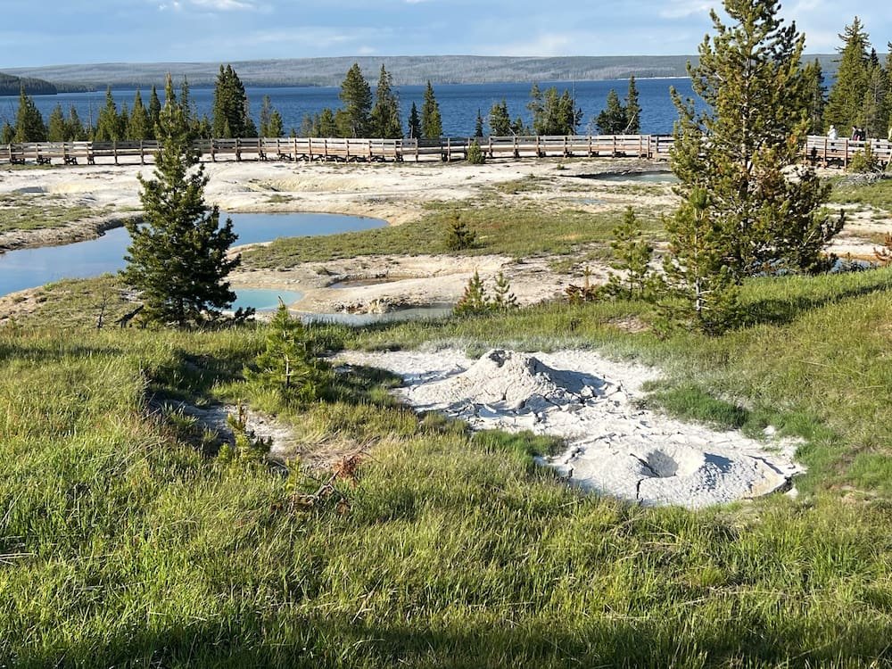
We saw more bison (of course) along the way, before we arrived at West Thumb Geyser Basin, a mesmerizing geothermal area located along the western shore of Yellowstone Lake. Yes, it was another place to see geothermal activity--but unlike other geyser basins, we could actually see hydrothermal features right at the water's edge, or even in the lake itself, bubbling underneath the crystal clear water's surface! Some of the popular sights included the Abyss Pool, one of the park's deepest hot springs, and the Fishing Cone geyser, which was once used by early visitors to cook freshly caught fish right in the boiling water! In winter, holes in the thick ice covering the lake indicate where there are thermal features, and otters often fish here.
A Long Drive to Sleep
Since we were close to the southern exit of Yellowstone National Park, we decided to find a parking spot for the evening, but learned the hard way that this area is the hardest to find a spot. People can't just park anywhere in the park to sleep and while we're sure many folks take the risk and find a quiet area since the park is so big, we decided not to risk it. What makes this area difficult is that the southern part of Yellowstone is so close to another national park, Grand Teton, so when we did find a quiet (and mosquito ridden) spot, it was near a campsite so we got the knock on the RV window to ask that we move on. We ended up driving all through Grand Teton(!), seeing the spectacular mountains and stopped for a herd of deer running across the road in front of us, but finally stopped at a parking lot just outside of it, the Elk Ranch Flats Turnout, after sunset and as it started to rain.
Route Map